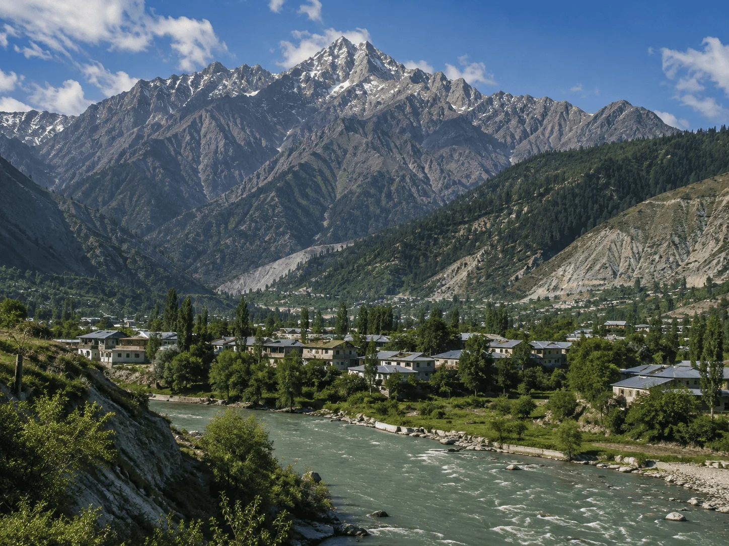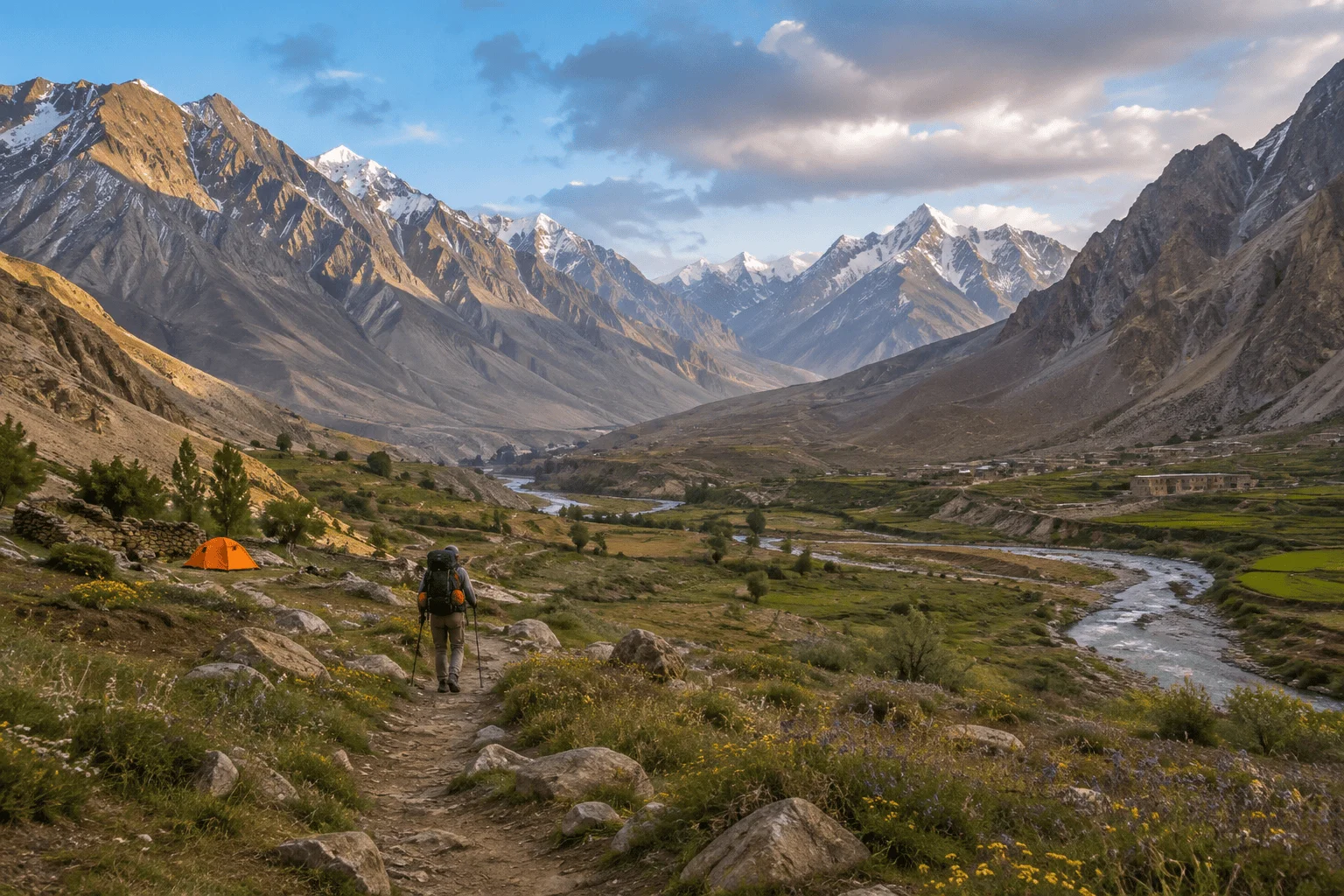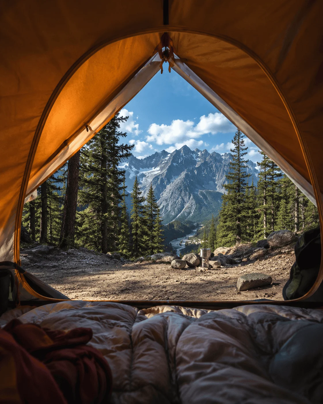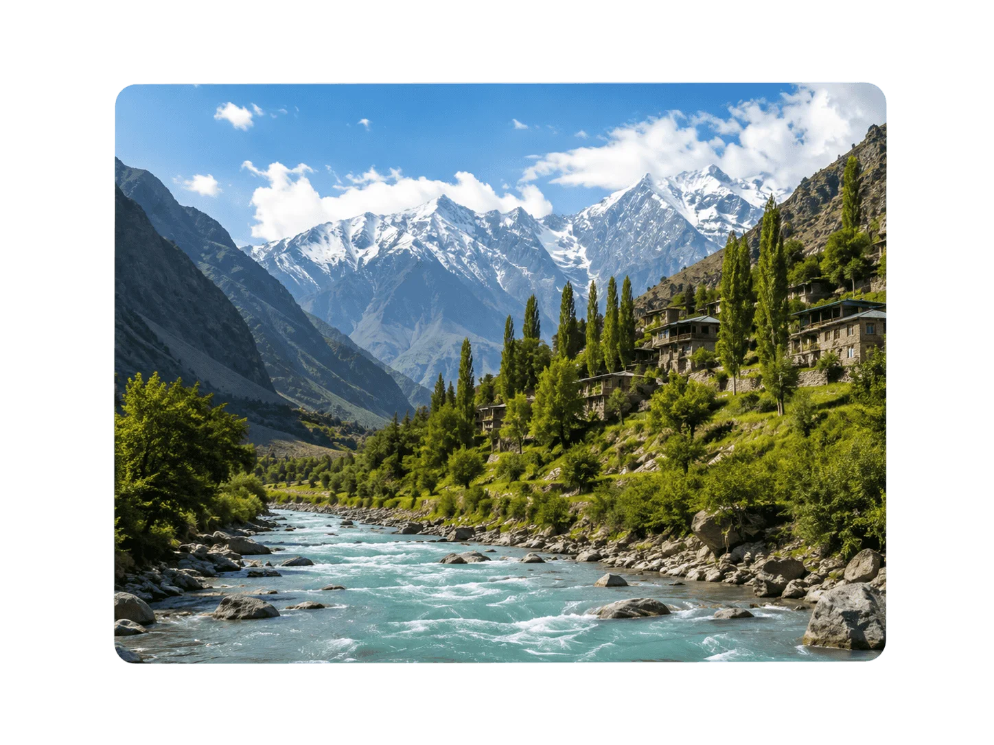
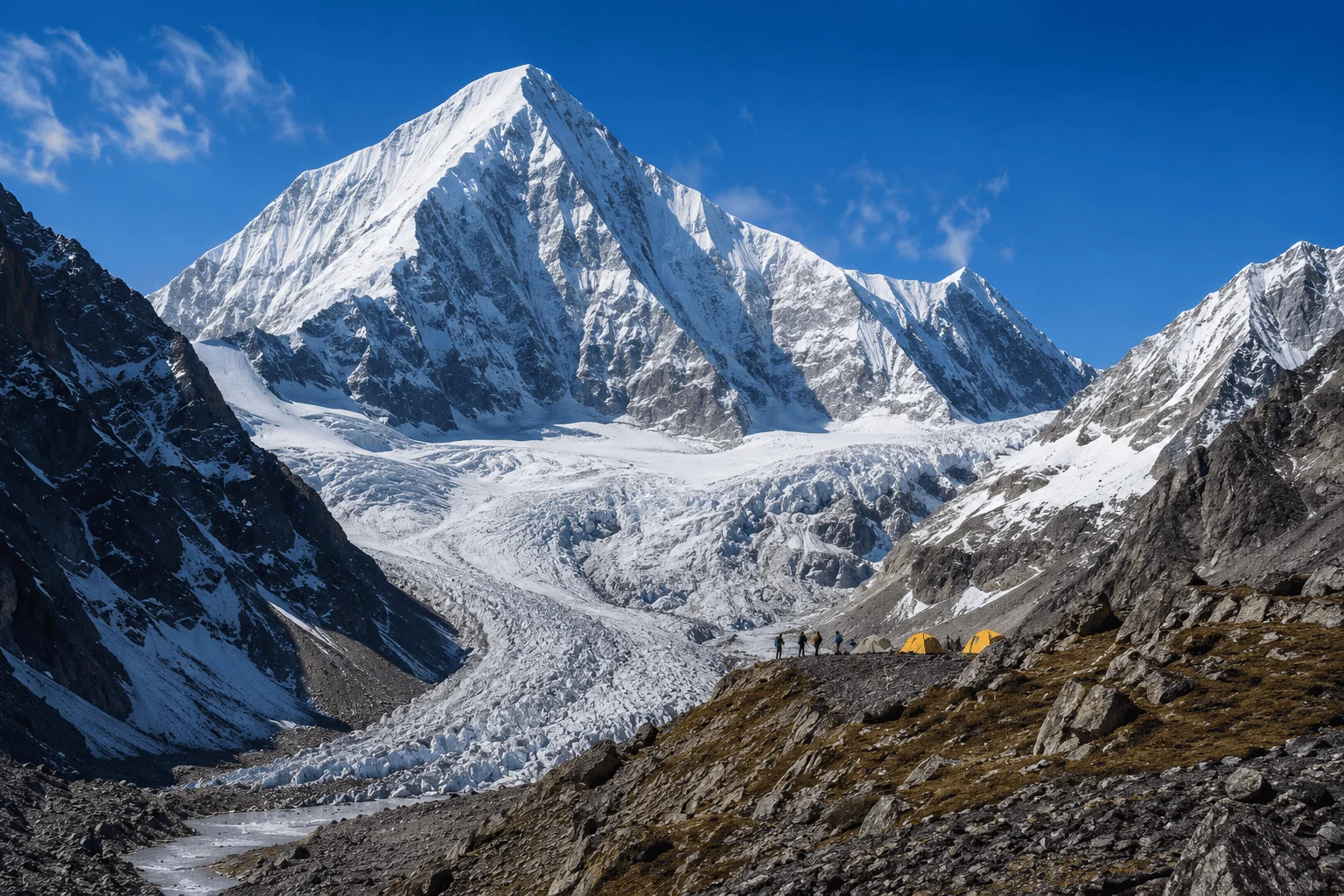
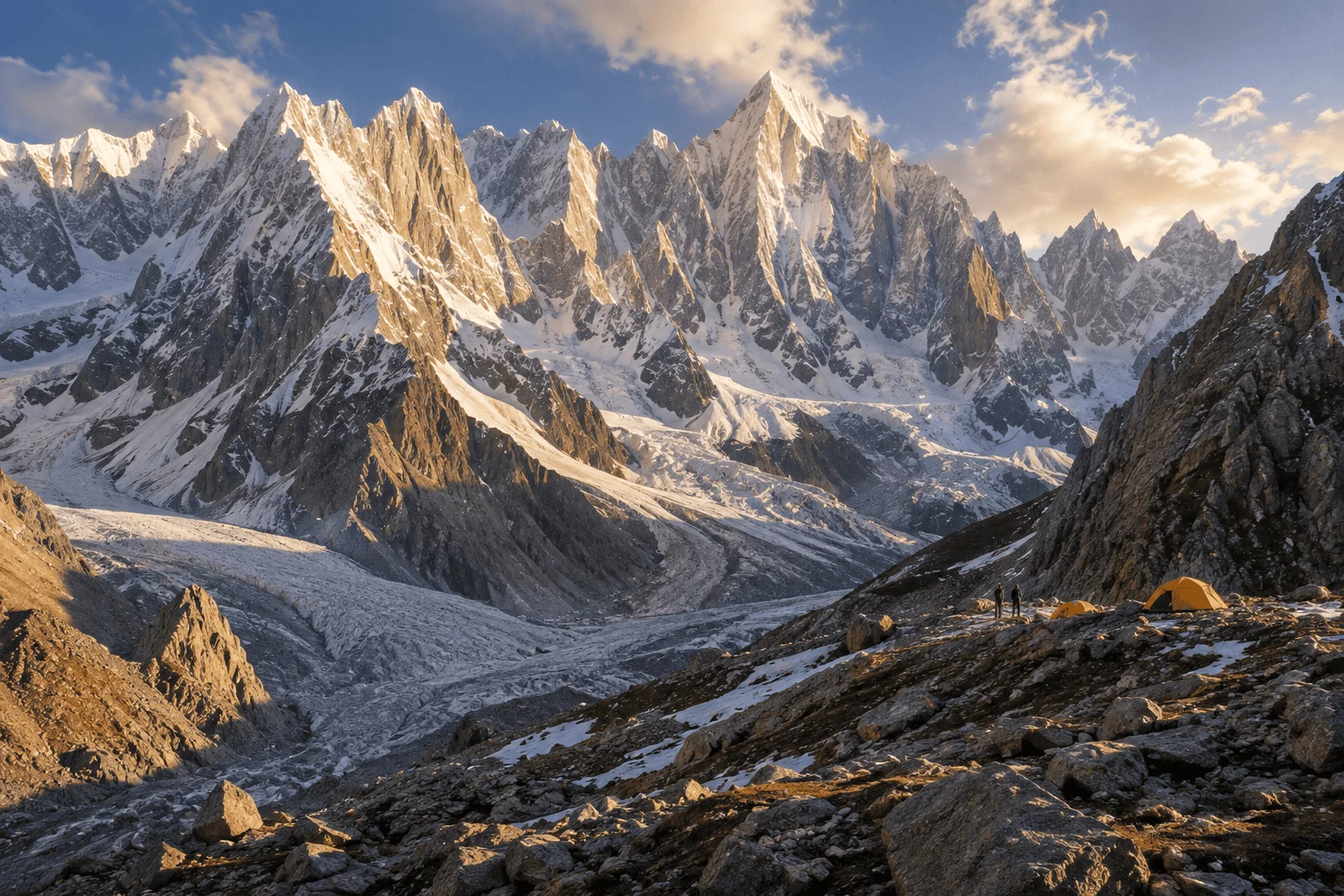
Tirich Mir and the high Hindu Kush above Chitral
HIGH HINDU KUSH • CHITRAL

Hindu Kush 7,000m Expeditions

Tirich Mir, Istor-o-Nal and Saraghrar are the great 7,000-metre objectives of Pakistan’s Hindu Kush. Each is planned, permitted and supported from Chitral, with local crews handling approach logistics, base camp infrastructure and high-altitude support.

The High Hindu Kush

Pakistan’s Great 7,000m Mountains

The Hindu Kush is the third great mountain system of Pakistan, running north-west from the Chitral valleys toward the Afghan border. Unlike the Karakoram, where objectives are reached from Skardu and the Baltoro, everything here is organised from Chitral: permits, porters, jeeps, food and crews all move through one small mountain town.

Three massifs dominate the range. Tirich Mir at 7,708m is the highest mountain on earth outside the Karakoram and Himalaya. Istor-o-Nal at 7,403m is a complex multi-summit massif of long glacier approaches. Saraghrar at 7,349m is the most remote of the three, a broad plateau summit guarded by steep rock and ice buttresses.

Around them sit a further set of 7,000m subsidiary summits : Tirich Mir East, Tirich Mir West I and II, Saraghrar North, South and Southeast : which make the Chitral Hindu Kush one of the densest concentrations of high, lightly visited mountains anywhere in Asia.

Highest SummitTirich Mir 7,708m
Staging TownChitral, KP Pakistan
Main SeasonLate June – Early September
Further 7,000m Objectives

Istor-o-Nal & Saraghrar

Both mountains sit close to Tirich Mir on the map and very far from it in practice. They see a fraction of the traffic, demand longer self-sufficiency and reward teams who are comfortable operating without an established trail of previous expeditions.

Istor-o-Nal, 7,403m, Hindu Kush, Chitral

Istor-o-Nal Expedition

Istor-o-Nal is a multi-summit massif rather than a single peak, with a cluster of tops above 7,000m sharing one broad glacier basin. Approaches run through the Roshgol valley system, and route choice depends heavily on the state of the icefall in a given season. It suits teams who want a big-mountain objective with genuine route-finding rather than a marked path to a known col.

Elevation7,403m
ApproachRoshgol Valley
First Ascent1969 (undisputed)
View Expedition
Saraghrar, 7,349m, Hindu Kush, Chitral

Saraghrar Expedition

Saraghrar is the most committing of the three. Its summit plateau is defended by long rock and mixed buttresses, and the approach is the least travelled, meaning porter staging and camp placement need careful planning each season. First climbed by an Italian team in 1959, it remains a mountain where subsidiary summits and new lines are still realistic objectives.

Elevation7,349m
ApproachZiwar / Rosh Gol
First Ascent1959
View Expedition
Operational Base

Why Chitral Matters

Every Hindu Kush expedition is decided in Chitral before it is decided on the mountain. This is where permits are checked, where the liaison officer joins the team, where several weeks of food is bought, and where jeeps and porters are contracted for the valleys above.

HindukushTours.com is operated by Chaqon Global Tours from Chitral itself. That means the crew walking to base camp is recruited locally, in the same valleys the route passes through, rather than flown in from another region. Porter rates, load stages and rest-day customs are handled the way the valleys expect.

It also means current information: which jeep road is open after a flood, which glacier snout has shifted, which bridge is out, and how much snow is still lying on the approach. That local reporting is usually the difference between a workable schedule and a lost week.

Chitral town, the staging base for Hindu Kush expeditions
Local Operating Base
Comparative Planning

Three Distinct Mountain Massifs

The three great Hindu Kush objectives are often grouped together, but they demand different planning. Approach length, porter staging, technical character and the amount of reliable route information all change from one massif to the next.

Tirich Mir

7,708m • Terich Valley

The most documented mountain in the range. A known approach corridor, established base camp ground and a normal route with a recognised sequence of camps. Planning here is mainly about altitude strategy and weather patience rather than uncertainty on the ground.

Istor-o-Nal

7,403m • Roshgol Valley

A complex massif with several 7,000m tops around a shared basin. Glacier conditions vary sharply between seasons, so route selection is made after a reconnaissance rather than fixed in advance. Teams should budget extra days for that assessment.

Saraghrar

7,349m • Ziwar Approach

The most remote and least frequented. Long approach, steep defending buttresses and limited recent traffic mean self-sufficiency and a conservative timetable matter more here than on either of the other two mountains.

Approach Framework

From Chitral to Base Camp

Every expedition we support follows the same five-stage ground framework. The valleys and timings change with the objective, but the sequence does not : and each stage has a defined set of decisions attached to it.

01

Arrival & Chitral Staging

Team arrives in Chitral, meets the ground crew, confirms permits and liaison arrangements and completes final bazaar purchase.

02

Load Preparation

All food, fuel and equipment is weighed and split into porter loads. Cargo not needed on the mountain is stored in Chitral.

03

Jeep to Roadhead

Movement by jeep into Terich, Roshgol or Ziwar depending on the objective, ending at the last village where porters are engaged.

04

Approach March

Two to four walking days through pasture, moraine and glacier ground, with intermediate camps chosen for water and load-stage practicality.

05

Base Camp & Rotations

Base camp is established with kitchen and mess infrastructure. The team then works upward in acclimatisation rotations toward a summit window.

Ground Operations

Full Expedition Logistics

Support can be taken as a complete package or as separate components. Alpine-style teams often want only permits, transport, porters and a base camp presence; larger expeditions take the full chain through to high-altitude support and evacuation cover.

Permits & Documentation

Peak permit filing, liaison officer coordination, visa support letters and restricted-zone clearances.

Transfers & Road Movement

Islamabad–Chitral road coordination, airport pickups and jeep transport to the roadhead.

Chitral Accommodation

Hotel and guesthouse booking for staging, rest days and post-expedition recovery.

Porters & Pack Animals

Load calculation, porter recruitment, stage payments and horse or donkey support where the trail allows.

Base Camp Infrastructure

Mess and store tents, sleeping tents, tables, toilet tents and camp fuel management.

Kitchen & Food Supply

Chitral bazaar purchase, expedition cook crew and menu planning for long base camp stays.

Mountain Guides

Experienced Chitrali climbing staff for approach, glacier travel and load carries where requested.

High-Altitude Porters

Support above base camp for camp stocking, fixed rope carries and route stocking.

Communication

Satellite communication planning, radio sets between camps and a weather-information channel.

Medical & Evacuation

Base camp medical kit planning, insurance verification and helicopter evacuation coordination.

Liaison & Compliance

On-ground handling of the liaison officer, briefings, debriefings and reporting obligations.

Custom Ground Handling

Cargo clearance, gear storage, extra rotations and film or research permission support.

Technical Ledger

High Altitude Directory

A working record of Hindu Kush summits at and around 7,000m in the Chitral sector, including main summits and their subsidiary tops. Elevations marked as verified are cross-checked against published survey and expedition records; others are shown as research-stage figures.

Tirich Mir Main

Elevation7708m
MassifTirich Mir
Statusverified

Istor-o-Nal

Elevation7403m
MassifIstor-o-Nal
Statusverified

Saraghrar Main

Elevation7349m
MassifSaraghrar
Statusverified

Tirich Mir East

Elevation7691m
MassifTirich Mir
Statusverified

Tirich Mir West I

Elevation7487m
MassifTirich Mir
Statusverified

Tirich Mir West II

Elevation7500m
MassifTirich Mir
Statusverified

Tirich Mir West III

Elevation7400m
MassifTirich Mir
Statusneeds verification

Tirich Mir West IV

Elevation7338m
MassifTirich Mir
Statusneeds verification

Tirich Mir North

Elevation7056m
MassifTirich Mir
Statusverified

Tirich Mir South

Elevation7100m
MassifTirich Mir
Statusneeds verification

Saraghrar North

Elevation7040m
MassifSaraghrar
Statusverified

Saraghrar South

Elevation7307m
MassifSaraghrar
Statusverified

Saraghrar Southeast

Elevation7208m
MassifSaraghrar
Statusverified

Noshaq

Elevation7492m
MassifNoshaq
Statusresearch required

Udren Zom

Elevation7140m
MassifUdren Zom
Statusresearch required
Mountaineering Record

Historical Mountaineering Context

The Hindu Kush had a short, intense golden age. Between 1950 and the early 1970s, European expeditions worked through the major summits of the Chitral sector; after that, political and access changes in the wider region drew attention elsewhere, and traffic never fully returned.

1950

Tirich Mir, Norwegian Expedition

A Norwegian team made the first ascent of Tirich Mir Main via the Terich approach, establishing the corridor that remains the normal route today.

1959

Saraghrar, Italian Expedition

An Italian expedition reached the main summit of Saraghrar, confirming the plateau character of the mountain and the seriousness of its defending ground.

1969

Istor-o-Nal, Spanish Expedition

The first undisputed ascent of Istor-o-Nal was made by a Spanish team; earlier claims on the massif remain debated because of confusion between its several summits.

Feasibility Review

Custom Hindu Kush Objectives

Beyond the three main massifs, the Chitral Hindu Kush holds subsidiary summits, secondary valleys and 6,000m peaks that have seen very few ascents. Teams regularly approach us with objectives that have no recent published record at all.

We assess each of these in the same way: permit classification and whether the peak sits in a restricted zone; road and jeep access to the nearest village; porter staging and how many days of load-carrying the approach demands; water and camp ground on the walk-in; and what current local reporting says about glacier and snow conditions.

The outcome is a plain answer : supportable this season, supportable with a reconnaissance first, or not realistic within your dates. We would rather say that in advance than in the valley.

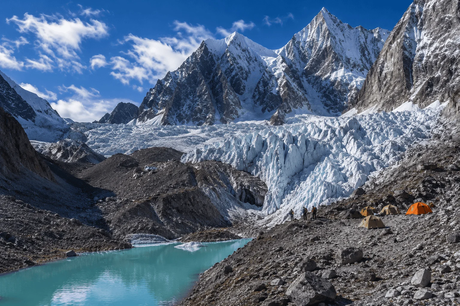
Remote Hindu Kush glacier terrain used for custom expedition objectives
Before You Write

Team Planning

A useful first reply depends on a few specifics. The more of the following you can give us at the start, the faster we can return a realistic cost outline and ground plan rather than a generic quote.

Objective

Which mountain or summit, and whether you have a preferred route or are open to advice from the ground team.

Dates

Your arrival and departure window, including how much flexibility exists for weather delay at base camp.

Team Size

Number of climbers, plus any non-climbing members joining for the approach or staying at base camp.

Experience

Previous altitude reached, glacier and fixed-rope experience, and whether you want guided or self-led support.

Planning Resources

Permits, Documentation & Preparation

Two reference guides cover most of the questions teams raise before committing to a season.

Expedition documentation and permit preparation

Permits & Documentation

Peak permits above 6,000m, liaison officer requirements, environmental undertakings, restricted-zone clearances, visa support letters and the documentation timeline you should work back from.

Read the Guide
Hindu Kush expedition base camp logistics

Expedition Planning

Season selection, acclimatisation structure, base camp infrastructure, porter staging, food supply and how ground support is scaled between alpine-style parties and larger sieged expeditions.

Expedition Overview
Common Questions

Hindu Kush Expedition FAQ

Which 7,000m peaks are available in the Hindu Kush?

The principal 7,000-metre objectives reached through Chitral are Tirich Mir (7,708m), Istor-o-Nal (7,403m) and Saraghrar (7,349m), together with their subsidiary summits above 7,000m such as Tirich Mir East, Tirich Mir West I and II, Saraghrar North, South and Southeast.

Is Tirich Mir the highest mountain in the Hindu Kush?

Yes. Tirich Mir Main, at 7,708m, is the highest summit of the Hindu Kush range and the highest mountain in the world outside the Karakoram and Himalaya systems.

Where do Hindu Kush expeditions start?

Almost all Hindu Kush expeditions stage from Chitral. Teams arrive in Chitral, complete final documentation, food purchase, load sorting and crew briefings, then move by jeep into Terich, Roshgol or Ziwar valleys before walking to base camp.

How long does a Hindu Kush 7,000m expedition take?

Most teams plan four to six weeks in country. That allows arrival and staging in Chitral, the approach march, base camp establishment, a full rotation-based acclimatisation programme, weather waiting time and the return march.

What permits are required?

Peaks above 6,000m require a formal mountaineering permit, which is coordinated with the relevant authorities and normally involves a designated liaison officer, an environmental undertaking and confirmed team documentation. We coordinate this process on the team’s behalf.

When is the climbing season?

The main window is summer, broadly late June to early September, when snow conditions on the approach and the upper glacier systems are most workable. Exact timing is confirmed against current conditions each season.

Do you support small independent teams?

Yes. We work with national and international teams of two climbers upwards, and also with alpine-style parties who only need permits, transport, porters and a base camp presence rather than full guided support.

Can you support new routes or unclimbed subsidiary summits?

Yes, subject to feasibility review. Objectives on lesser-known Hindu Kush summits are assessed against access, permit classification, approach length, porter staging and available ground information before we confirm what can be supported.

What ground support is included?

Permit coordination, airport and road transfers, Chitral accommodation, jeep transport to roadhead, porters and pack animals, base camp tentage, kitchen and cook crew, high-altitude porters where requested, communication equipment and evacuation coordination.

Hindu Kush mountains above the Chitral valleys
START YOUR EXPEDITION PLAN

Which Hindu Kush Objective Is Your Team Preparing For?

Share your mountain, preferred dates, team size, experience and required ground support. Our Chitral team can use that information to help shape the next planning stage.